Geographic Information Systems (GIS) (Evening)
The English-medium Non-Thesis Master’s in Geographic Information Systems (GIS) (Evening) at Dokuz Eylül University is designed to provide advanced professional education in geospatial science, spatial analysis, and applied GIS technologies. The programme focuses on practical applications of spatial data, remote sensing, geospatial databases, urban and environmental GIS, and location-based services. Students learn to use industry-standard GIS software and analytical methods to interpret spatial information, support decision-making, and contribute to planning, management, and research projects. The flexible part-time evening format allows students with daytime commitments or work responsibilities to pursue advanced training while continuing professional activities.
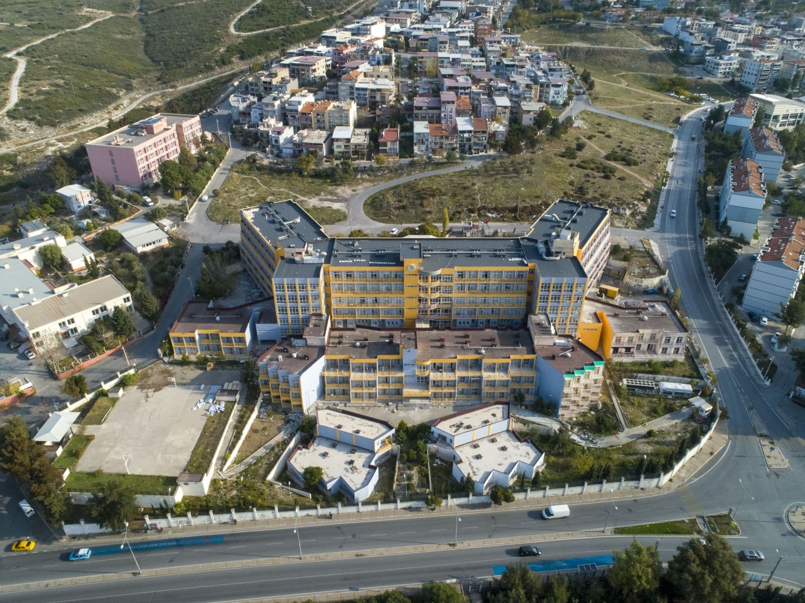
Situated in İzmir — a city with diverse urban, environmental, and coastal landscapes — this programme offers students a relevant environment for applied GIS training. Students benefit from access to modern GIS labs, expert faculty, and opportunities for collaboration with government agencies, urban planners, environmental organizations, and private sector firms. The curriculum is structured to bridge theory and professional practice, giving graduates the skills needed to handle real spatial data challenges in domestic and global contexts. Instruction is in English, preparing students for international roles in geospatial and data-driven professions.
Key Facts
Key Facts
- Degree: Master of Science (M.Sc.) / Non-Thesis
- Standard period of study: 2 years (4 semesters)
- Location: İzmir
- Study Type: Postgraduate (part-time / evening)
- Admission semester: Fall semester
- Area of study: Geographic Information Systems, Spatial Analysis, Remote Sensing, Geospatial Technologies
- Admission modus: With admission requirement
- Main language: English
Program Structure
Semester 1 – Foundations of GIS & Spatial Data
- Introduction to Geographic Information Systems
- Remote Sensing Principles and Image Analysis
- Spatial Data Management & Databases
- Seminar: GIS Tools and Applications
Semester 2 – Advanced Spatial Techniques
- Applied GIS & Spatial Analysis Methods
- Cartography & Visualization of Spatial Information
- Geospatial Statistics & Modeling
- Seminar: Urban & Environmental GIS Applications
Semester 3 – Specialization & Applied Project I
- Elective I (e.g., Environmental GIS, Urban Planning GIS)
- Elective II (e.g., Web GIS & Cloud GIS, Location-Based Services)
- Applied Project I (Professional Spatial Analysis)
- Seminar: Interdisciplinary GIS Topics
Semester 4 – Applied Project II & Professional Integration
- Applied Project II (Capstone or Professional Portfolio)
- Seminar: Geospatial Strategy & Innovation
- Professional Development & Career Planning
- Graduation Requirements & Degree Completion
Career Opportunities
Graduates of this programme are well-prepared for professional careers as GIS specialists, spatial data analysts, remote sensing technicians, urban or environmental planners, location intelligence professionals, and geospatial consultants. They may work in government agencies, planning and environmental organisations, utilities, transportation and infrastructure companies, or private GIS firms. With strong applied skills and English-medium training, graduates are also suited for international GIS roles, research centres, and technology companies focusing on spatial analytics or location-based services. The practical orientation of the programme equips them to respond to real spatial data challenges across diverse sectors.
Why Choose This Program
Choosing the Non-Thesis Master’s in Geographic Information Systems (Evening) means joining a programme that blends theoretical foundations with practical GIS and spatial analysis skills tailored for professional use. Students benefit from English-medium instruction, flexible evening scheduling that accommodates working professionals, and a curriculum aligned with current GIS industry practices. The programme helps students build strong analytical, technical, and problem-solving competencies necessary for impactful GIS careers. This part-time structure enables students to balance work and study while advancing professionally.
Moreover, the curriculum offers flexibility through electives and applied projects in areas such as environmental GIS, web GIS, or urban planning — matching evolving geospatial industry demands. Through labs, seminars, and real spatial data projects, graduates develop a versatile skill set ready for government roles, private sector opportunities, or international consultancy positions. This versatility supports both career growth and adaptability in global geospatial professions.
Contact Information
Dokuz Eylül University – Student Affairs Directorate
Dokuzçeşmeler Campus
35160 İzmir, Turkey
Tel: +90 232 301 00 00
Fax: +90 232 420 48 00
Email: ogrenci.isleri@deu.edu.tr
Department of Geographic Information Systems – Graduate Programme Contact (Evening, English)
Faculty of Engineering / GIS Division
Tinaztepe Campus, Buca
35160 İzmir, Turkey
Tel: +90 232 412 70 00
Email: gis_grad_evening@deu.edu.tr
International Office – Dokuz Eylül University
Rectorate Building, Dokuzçeşmeler
35160 İzmir, Turkey
Tel: +90 232 301 12 34
Fax: +90 232 464 78 50
Email: international@deu.edu.tr