Master of Science · Full-time · On Campus
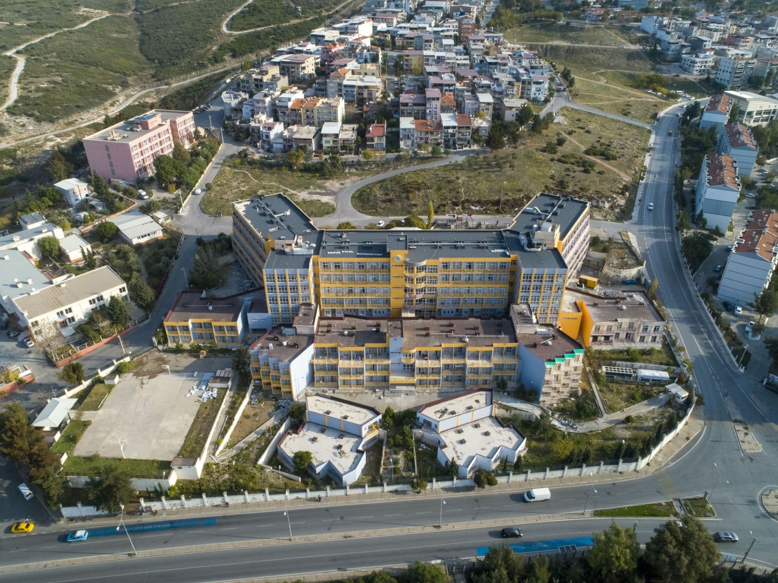
Dokuz Eylul University
Turkey
The English-medium Master’s in Geographic Information Systems (GIS) at Dokuz Eylül University is designed to provide students with advanced theoretical and practical knowledge in spatial analysis, geospatial technologies, and remote sensing applications. The programme focuses on equipping students with the skills needed to manage, analyse, visualise, and interpret spatial data for use in environmental planning, urban management, natural resource monitoring, transportation systems, and public policy. Through coursework, labs, and applied projects, students learn industry-standard GIS software, database management, spatial modelling, and geospatial problem-solving. The English instruction prepares students for both national and international careers in geospatial science and related fields.
Located in İzmir — a city with diverse environmental and urban systems — this programme offers access to experienced faculty, modern GIS laboratories, and opportunities for collaboration with government agencies, environmental organisations, and private technology firms. The curriculum blends core GIS theory with practical applications, enabling graduates to respond to real spatial data challenges and contribute to decision making across sectors. With its international perspective and applied orientation, the programme prepares students for professional roles and further academic pursuits in geospatial sciences on a global scale.
Semester 1 – Foundations of GIS & Spatial Science
Semester 2 – Applied Spatial Analysis
Semester 3 – Specialisation & Research Methods
Semester 4 – Thesis & Professional Integration
Graduates of this Master’s programme are prepared for professional roles such as GIS analyst, spatial data scientist, remote sensing specialist, environmental planner, urban systems analyst, and geospatial consultant. They may work in government agencies, urban and regional planning offices, natural resource and environmental organisations, transportation and infrastructure firms, utilities, or private GIS technology companies. With strong applied skills and English-medium training, graduates are also suited for international geospatial roles, research centres, and global consultancy firms. They may pursue further academic careers, doctoral studies, or specialised certifications in geospatial science and related fields.
Choosing the Master’s in Geographic Information Systems means joining a programme that integrates theoretical foundations with practical GIS, spatial analysis, and data visualisation skills. Students benefit from English-medium instruction and access to modern labs, enabling them to apply spatial technologies to real-world problems. The curriculum is designed to build strong analytical, technical, and problem-solving competencies essential for GIS professionals across sectors. This preparation ensures that graduates are ready to meet evolving demands in the geospatial field.
Moreover, the programme offers flexibility through elective options and research focus areas such as environmental GIS, urban systems, and web GIS — allowing students to tailor their studies to their interests and career goals. Through seminars, labs, and thesis work, graduates develop a versatile and competitive skill set that supports careers in both national and international contexts. This versatility enhances their adaptability and long-term career success.
Dokuz Eylül University – Student Affairs Directorate
Dokuzçeşmeler Campus
35160 İzmir, Turkey
Tel: +90 232 301 00 00
Fax: +90 232 420 48 00
Email: ogrenci.isleri@deu.edu.tr
Department of Geographic Information Systems – Graduate Programme Contact (English)
Faculty of Engineering / GIS Division
Tinaztepe Campus, Buca
35160 İzmir, Turkey
Tel: +90 232 412 70 00
Email: gis_grad@deu.edu.tr
International Office – Dokuz Eylül University
Rectorate Building, Dokuzçeşmeler
35160 İzmir, Turkey
Tel: +90 232 301 12 34
Fax: +90 232 464 78 50
Email: international@deu.edu.tr
Master of Science · Full-time · On Campus
Dokuz Eylul University
Turkey
Doctor of Philosophy · Full-time · On Campus
Dokuz Eylul University
Turkey
Master of Science · Full-time · On Campus
Dokuz Eylul University
Turkey
Master of Science · Full-time · On Campus
Dokuz Eylul University
Turkey