Geographical Information Systems
The Doctor of Philosophy (Ph.D.) in Geographical Information Systems (GIS) at Dokuz Eylül University is an English-taught doctoral program for students who want to develop advanced knowledge in spatial analysis, geoinformatics, remote sensing, cartography, and geographic technologies. The program helps students build strong research skills while studying how digital maps, geographic data, and spatial models are used to solve real-world problems. Over eight semesters, students complete advanced coursework, research seminars, independent studies, and a full dissertation. The curriculum supports innovation, analytical thinking, and scientific exploration in the field of GIS.
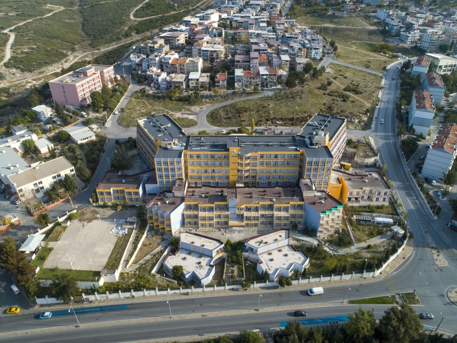
Located in İzmir, the program offers a dynamic academic and research environment with access to laboratories, GIS software, and fieldwork opportunities. Students work with experienced faculty and gain hands-on experience with spatial data, modeling tools, and advanced mapping techniques. They also take part in scientific publications, conferences, and collaborative projects. The program prepares graduates for careers in academia, government agencies, research institutions, and private companies that use geographic information systems for planning, management, and decision making.
Key Facts
Key Facts
- Degree: Doctor of Philosophy (Ph.D.) in Geographical Information Systems
- Standard period of study: 8 semesters
- Location: İzmir, Turkey
- Study Type: Doctoral (full-time, international)
- Admission semester: Fall semester only
- Area of study: GIS, Remote Sensing, Spatial Analysis, Geoinformatics
- Admission modus: With admission requirements
- Main language: English
Program Structure
Semester 1 – Foundations of GIS Research
- Research Methodology
- Advanced GIS Concepts
- Elective Course I
- Scientific Writing & Presentation Skills
Semester 2 – Spatial Analysis & Advanced Techniques
- Remote Sensing Applications
- Spatial Data Modeling
- Elective Course II
- Research Techniques in Geoinformatics
Semester 3 – Research Development I
- Independent Research I
- Elective Course III
- Literature Review & Academic Reading
- Research Progress Seminar
Semester 4 – Research Development II & Comprehensive Exam
- Independent Research II
- Comprehensive Exam Preparation
- Elective Course IV
- Proposal Drafting Workshop
Semester 5 – Dissertation Research I
- Dissertation Proposal Development
- Research Field Work / Data Collection
- Conference or Journal Submission I
- Advanced Research Seminar
Semester 6 – Dissertation Research II
- Dissertation Progress Report
- Spatial Modeling / Data Analysis
- Conference or Journal Submission II
- Specialized Workshop Participation
Semester 7 – Dissertation Completion I
- Dissertation Writing Phase I
- Advanced Topic Seminar
- Research Group Presentation
- Publication Development Session
Semester 8 – Dissertation Completion II & Defense
- Dissertation Writing Phase II
- Final Dissertation Review
- Dissertation Defense
- Post-Defense Publication Preparation
Career Opportunities
Graduates of the GIS Ph.D. program have wide career opportunities in government, private sector, and academic environments. They can work as GIS specialists, spatial data scientists, remote sensing analysts, urban planners, environmental researchers, or geoinformatics consultants. Many graduates take leadership roles in mapping agencies, environmental organizations, disaster management units, energy companies, and transportation planning departments. Others join universities or research institutions and continue their academic careers. With strong analytical abilities, technical expertise, and research experience, graduates are well-prepared to contribute to global projects involving spatial data, smart cities, sustainability, and geographic innovation.
Why Choose This Program
Choosing the Ph.D. in Geographical Information Systems means joining a research-focused program that connects geographic science with modern technology. Students learn how to analyze spatial data, interpret satellite images, and use GIS tools to solve real problems. The curriculum includes case studies, workshops, and applied research that help students gain technical confidence and deepen their understanding of GIS. This structure prepares them to handle complex spatial challenges with creativity and precision. It also helps students build strong research habits and analytical thinking skills.
The program offers access to advanced laboratories, software tools, and fieldwork opportunities that support hands-on learning. Students also benefit from experienced faculty, international collaboration, and opportunities to publish research. The English-medium instruction provides a global perspective and prepares students for international careers in GIS and geotechnology. These advantages make the program an excellent choice for students who want to become experts in spatial analysis and geographic information science.
Contact Information
Dokuz Eylül University – Student Advisory Service
Tinaztepe Campus
35390 Buca, İzmir, Turkey
Tel: +90 232 301 70 05
Fax: +90 232 453 10 38
Email: fbe@deu.edu.tr
Department of Geographical Information Systems – Ph.D. Program Contact
Tinaztepe Campus, Faculty of Engineering
35390 Buca, İzmir, Turkey
Tel: +90 232 301 86 50
Email: gis@deu.edu.tr
International Office – Dokuz Eylül University
Cumhuriyet Boulevard No: 144
35210 Alsancak, İzmir, Turkey
Tel: +90 232 412 12 12
Fax: +90 232 464 81 35
Email: internationaloffice@deu.edu.tr