.png&w=640&q=75)
Geoinformation Technology and Cartography
The Master of Science in Geoinformation Technology and Cartography at the University of Glasgow is a one-year full-time program designed for students interested in geospatial data analysis and map creation. The program focuses on advanced technologies and techniques in cartography, GIS, and spatial data management, equipping students with the skills necessary to address complex geographical and environmental challenges.
With a strong emphasis on both practical skills and theoretical knowledge, this program prepares graduates for careers in environmental management, urban planning, and geospatial data analysis, where demand for GIS professionals is rapidly increasing.
Key Facts
Key Facts
Program Title: Master of Science in Geoinformation Technology and Cartography
Degree Type: Master of Science (MSc)
Duration: 1 Year
Mode of Study: Full-time, On Campus
Application Deadline: 7th July 2026
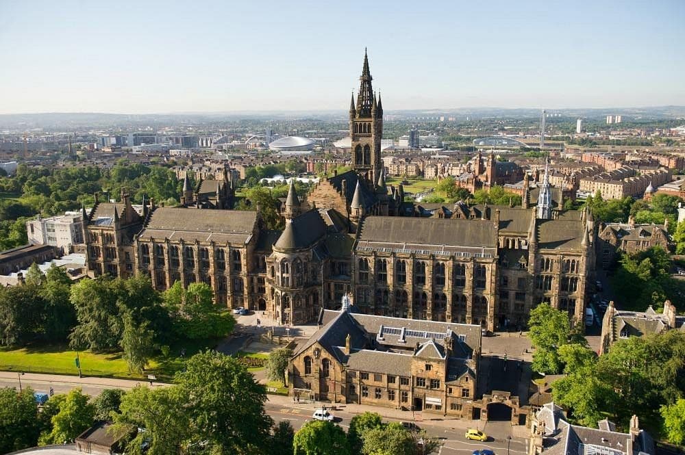
Location: University of Glasgow, United Kingdom
Field of Study: Geography
Language of Instruction: English
Program Structure
Semester 1 – Foundations in Geoinformation Technology and Cartography
- Introduction to Geospatial Technologies and Cartography
- Geographic Information Systems (GIS) Fundamentals
- Remote Sensing and Spatial Data Collection
- Cartographic Design and Visualization Techniques
- Spatial Analysis and Modelling
- Research Methods in Geoinformation Technology
Semester 2 – Advanced Geoinformation Technology and Cartography
- Advanced Cartography and Mapping Techniques
- Geospatial Data Management and Databases
- 3D Mapping and Geospatial Technologies
- Environmental Applications of GIS and Cartography
- Geospatial Data Analysis and Decision Support Systems
- Elective Modules in Geoinformatics and Cartographic Applications
Career Opportunities
Graduates of the Geoinformation Technology and Cartography program are well-prepared for careers in geospatial data management, cartography, and environmental monitoring. Career opportunities include roles such as Geospatial Data Analyst, Cartographer, GIS Specialist, Remote Sensing Analyst, and Urban Planning Consultant. Graduates can work in government agencies, environmental organizations, urban planning firms, consultancies, and technology companies that specialize in geospatial technologies and mapping solutions. The program provides the technical skills to work with spatial data, geographic information systems (GIS), and cartographic tools to solve complex real-world problems.
Why Choose This Program
The Geoinformation Technology and Cartography program at the University of Glasgow offers an interdisciplinary approach to the use of geospatial data and cartography, combining theoretical knowledge with practical skills in GIS, remote sensing, and data visualization. Students will gain hands-on experience in map design, spatial analysis, and geospatial data management, preparing them for work in both technical and analytical roles in the geospatial industry. The program’s strong focus on real-world applications ensures that graduates are ready to address challenges in urban planning, environmental conservation, transportation, and disaster management. With access to cutting-edge technology and a strong industry network, graduates are equipped to become leaders in the rapidly growing geospatial and cartography fields.
Contact Information
For further information, please contact the admissions office at:
Phone: +44 (0)141 330 2000
Email: admissions@glasgow.ac.uk
Address: University of Glasgow, Glasgow G12 8QQ, United Kingdom