Geomatics Engineering
The Bachelor of Science in Geomatics Engineering (English) at Istanbul Technical University is a full-time undergraduate program that teaches students how to measure, map and analyse the Earth and its physical features. The program covers topics such as surveying, remote sensing, cartography, geodesy, GPS technologies, and geographic information systems (GIS). Students learn how to collect spatial data, understand land structures, use modern software and instruments, and design maps that support engineering, environmental and urban projects. The curriculum builds a strong foundation in mathematics, physics and engineering principles, while also introducing students to practical tools used in real geomatics applications.
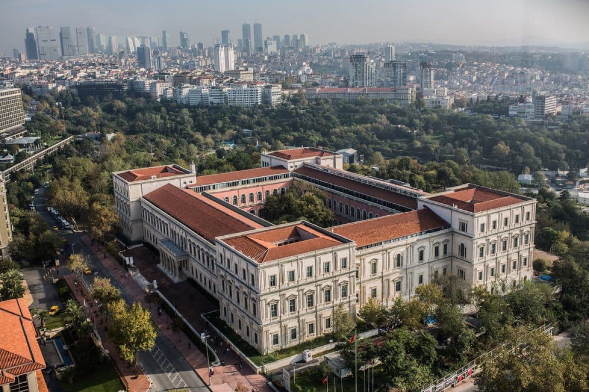
The program takes place at ITU, a university known for its modern laboratories, international academic environment and strong engineering tradition. Students participate in fieldwork, mapping projects, data-analysis exercises and teamwork activities that help them develop confidence in professional tasks. They also learn how spatial information supports areas such as smart cities, land management, transportation, environment, disaster planning and infrastructure development. With English instruction, practical training and a forward-looking curriculum, this program prepares students for a global career in a rapidly growing field where technology and geography come together.
Key Facts
Key Facts
- Degree: Bachelor of Science (B.Sc.)
- Standard period of study: 8 semesters
- Location: Istanbul (Ayazağa Campus)
- Study Type: Undergraduate (full-time, English track available)
- Admission semester: Fall semester
- Area of study: Geomatics / Geodesy & Surveying / Spatial Information Systems
- Admission modus: Without admission restriction
- Main language: English
Program Structure
Semester 1 – Foundations of Mathematics & Surveying
- Mathematics I / Analytic Geometry
- Physics I
- Intro to Geomatics Engineering & Ethics
- Computer-aided Technical Drawing & Basic IT
Semester 2 – Basic Surveying & Programming
- Mathematics II
- Physics II
- Fundamentals of Programming
- Basics of Surveying & Measurement Techniques
Semester 3 – Spatial Analysis & Geodesy Basics
- Fundamentals of Surveying & Geodetic Systems
- Probability & Statistics for Geomatics
- Cartography I / Map Drawing Principles
- Introduction to Geographic Information Systems (GIS)
Semester 4 – Remote Sensing, Mapping & Data Handling
- Remote Sensing I
- Terrain Modelling & Digital Elevation
- Databases in Engineering
- Error Theory & Adjustment Calculations
Semester 5 – Advanced Geodesy & Photogrammetry
- Geodesy I / Coordinate Systems & Projections
- Cadastre and Land Management
- Photogrammetry I / Image-based Mapping
- GIS & Spatial Data Analysis
Semester 6 – Surveying Applications & Spatial Systems
- Digital Image Processing
- Land Management & Real Estate Valuation
- Remote Sensing II / Advanced Spatial Analysis
- Special Surveying Applications (Deformation, Hydrographic Survey, etc.)
Semester 7 – Applied Geomatics Projects & Practice
- GIS Projects & Spatial Planning
- Urban & Regional Information Systems
- Elective Course (e.g. Environmental GIS, Urban Planning, Spatial Data Engineering)
- Practical Surveying Project / Field Work
Semester 8 – Final Design / Thesis & Professional Preparation
- Geomatics Engineering Design Project II (Final Thesis or Project)
- Surveying Standards, Regulations & Professional Ethics
- Elective Course (Advanced Geomatics Topic or GIS / Remote Sensing Specialization)
Career Opportunities
Graduates of this program can work in many fields: as surveyors, geospatial data analysts, GIS specialists, cadastre and land management engineers, remote sensing engineers, urban planning consultants, or environmental mapping engineers. They may find jobs in government land offices, municipalities, private surveying companies, mapping firms, urban planning and real estate companies, and environmental consultancies. Because the program has strong engineering education and international standards, graduates can also work abroad or engage in international projects related to mapping, GIS, remote sensing, surveying or spatial data.
Why Choose This Program
Choosing Geomatics at ITU means joining a program that merges mathematics, geography, and modern technology to understand and shape the world’s spaces. You learn how to map land, analyse spatial data, use satellite and surveying tools, and create digital maps and databases. This helps you build strong technical and analytical skills — useful for city planning, environmental projects, land management, and many modern engineering tasks.
The program also gives you a chance to work on real projects, learn in modern labs, and get prepared for a future where spatial data and mapping are increasingly important. For students who like precision, technology, geography and want a job that connects engineering with real-world land and environment issues — this program offers a meaningful, versatile and future-oriented path.
Contact Information
İstanbul Technical University – Department of Geomatics / Harita Mühendisliği
Ayazağa Campus, Maslak
34469 Istanbul, Turkey
Tel: +90 212 285 34 14
Email: geomatics@itu.edu.tr
Faculty of Civil Engineering – Student Affairs Office
Ayazağa Campus, Maslak
34469 Istanbul, Turkey
Tel: +90 212 285 30 30
Email: studentaffairs@ins.itu.edu.tr
International Office – İstanbul Technical University
Ayazağa Campus, Maslak
34469 Istanbul, Turkey
Tel: +90 212 285 71 13
Email: international@itu.edu.tr