.png&w=640&q=75)
Geospatial Geoscience and Modelling
The Geospatial Geoscience and Modelling MSc at the University of Glasgow is a one-year program designed to provide students with a comprehensive understanding of geospatial science, geological modeling, and geospatial data analysis. Students will learn how to apply modern geospatial technologies and modeling techniques to solve real-world problems in fields such as environmental management, resource exploration, and urban planning. The program combines theory with hands-on practice, providing students with the necessary skills to work with geographic information systems (GIS), remote sensing, and geospatial modeling tools.
Graduates will be well-equipped for careers in geospatial analysis, environmental consulting, and natural resource management. This program prepares students to work in industries such as mining, urban planning, disaster management, and environmental monitoring, where they can apply geospatial technologies to address a variety of complex challenges.
Key Facts
Key Facts
- Program Title: Geospatial Geoscience and Modelling
- Degree Type: Master of Science
- Duration: 1 year
- Mode of Study: Full-time, On Campus
- Application Deadline: 22 August 2026
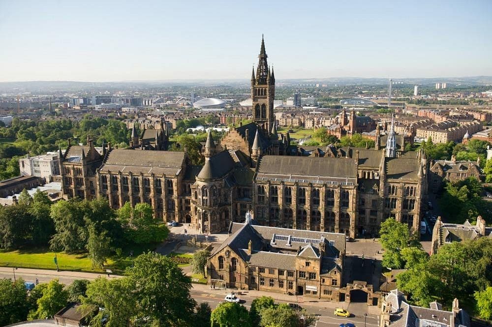
- Location: University of Glasgow, United Kingdom
- Field of Study: Geology
- Language of Instruction: English
Program Structure
Semester 1 – Foundations of Geospatial Science and Geology
- Introduction to Geospatial Data and Technologies
- Principles of Geology and Earth Processes
- Remote Sensing and Geographic Information Systems (GIS)
- Geospatial Data Analysis and Visualization
- Introduction to Geophysical Methods
Semester 2 – Advanced Geospatial Modelling and Applications
- Advanced Geospatial Modelling Techniques
- Environmental Geoscience and Risk Assessment
- Geospatial Applications in Natural Resource Management
- Computational Methods in Geoscience
- Dissertation / Research Project
Career Opportunities
Graduates of the Geospatial Geoscience and Modelling program are well-equipped for a variety of roles in the geoscience and environmental sectors. With expertise in geospatial analysis, remote sensing, and geophysical modelling, they can pursue careers as Geospatial Analysts, Geoscience Consultants, Environmental Risk Analysts, or Remote Sensing Specialists. These roles are in high demand within industries such as environmental consulting, natural resource management, urban planning, and disaster risk management. Graduates can also work in research institutions, government agencies, and non-governmental organizations, contributing to sustainable development and resource management efforts. The program provides a strong foundation for those interested in advanced geoscience research or pursuing further academic studies in the field.
Why Choose This Program
The University of Glasgow’s Master of Science in Geospatial Geoscience and Modelling combines cutting-edge geospatial technologies with core geoscience principles, preparing students for roles in environmental and resource management. The program emphasizes practical applications of geospatial data in real-world settings, equipping students with the skills to address challenges in natural resource management, environmental protection, and disaster response. Students benefit from a strong research environment and access to advanced software tools and field-based projects, ensuring they are well-prepared for careers in this rapidly evolving field. This program is ideal for those who wish to combine their passion for geology with innovative geospatial technologies to tackle global challenges in sustainability and environmental management.
Contact Information
For further information, please contact the admissions office at:
Phone: +44 (0)141 330 2000
Email: admissions@glasgow.ac.uk
Address: University of Glasgow, University Avenue, Glasgow G12 8QQ, United Kingdom