Geospatial Technologies
The Master of Science in Geospatial Technologies is a distinguished international graduate program offered through the Erasmus Mundus consortium, including the University of Münster (Germany), Universidade Nova de Lisboa (Portugal), and Universitat Jaume I (Spain). Designed for students seeking to deepen their expertise in geoinformatics, this full-time program blends academic research with practical application in spatial data science, GIS, and remote sensing. Students gain hands-on experience with cutting-edge geospatial technologies while developing the analytical and computational skills required to address global challenges related to environment, mobility, urban planning, and digital geography. The program spans three semesters and admits students exclusively in the winter semester.
As part of a highly international learning environment, students benefit from studying in leading European academic hubs known for innovation in geospatial research and digital transformation. With a strong emphasis on interdisciplinary collaboration, project-based learning, and real-world applications, this master's program prepares graduates to become experts in geoinformatics and spatial analytics. The unique structure of the course provides exceptional professional exposure, academic excellence, and access to a global research network — making it an ideal choice for those aspiring to careers in geospatial science, environmental technology, and spatial data intelligence across public and private sectors.
Key Facts
Key Facts
- Degree: Master of Science (M.Sc.)
- Standard period of study: 3 semesters
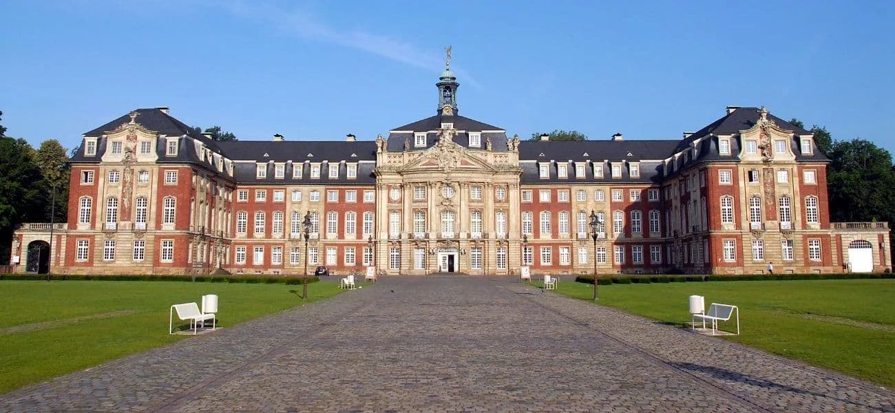
- Location: Spain / Portugal → Münster, Germany
- Study Type: Graduate (international, full-time)
- Admission semester: Winter semester only
- Area of study: Geosciences / Geoinformatics
- Admission modus: Without admission restriction
- Main language: English
Program Structure
Semester 1 – Foundations & Applications
- Core modules in GIS & geospatial analysis
- Spatial data acquisition & processing
- Applied geoinformatics projects
- Practical labs & field components
Semester 2 – Advanced Technologies
- Advanced geospatial modeling
- Remote sensing & spatial statistics
- Programming & spatial data science
- Research workshop / collaborative project
Semester 3 – Master’s Thesis
- Independent research thesis
- Industry or research-based final project
- Thesis defense & academic presentation
Career Opportunities
Graduates of the Master in Geospatial Technologies are prepared for global careers in the geospatial and data-driven technology sector. Typical roles include GIS analyst, geospatial data scientist, remote sensing specialist, urban and environmental planner, and research consultant. The international learning environment and Erasmus Mundus network open opportunities in academic research institutions, environmental organizations, government agencies, mapping firms, startups, and global tech companies developing spatial intelligence solutions.
Why Choose This Program
Choosing the Master in Geospatial Technologies means joining a globally recognized Erasmus Mundus program combining academic excellence with real-world application. Students benefit from studying in three leading European universities, learning from top researchers, and gaining international mobility experience.
The curriculum integrates advanced GIS, spatial data science, and interdisciplinary applications, equipping graduates with highly demanded skills. With strong industry partnerships, research facilities, and a global alumni network, the program prepares students for impactful careers in cutting-edge geospatial fields.
Contact Information
Student Advisory Service – University of Münster
Botanicum – Haus des Studiums, Schlossgarten 3
48149 Münster, Germany
Tel: +49 251 83-20002
Email: zsba@uni-muenster.de
Program Website
http://mastergeotech.info/
International Office – University of Münster
Schlossgarten 3
48149 Münster, Germany
Tel: +49 251 83-22215
Email: international.office@uni-muenster.de