S. Master · Full-time · On Campus

AGH University of Science and Technology
Poland
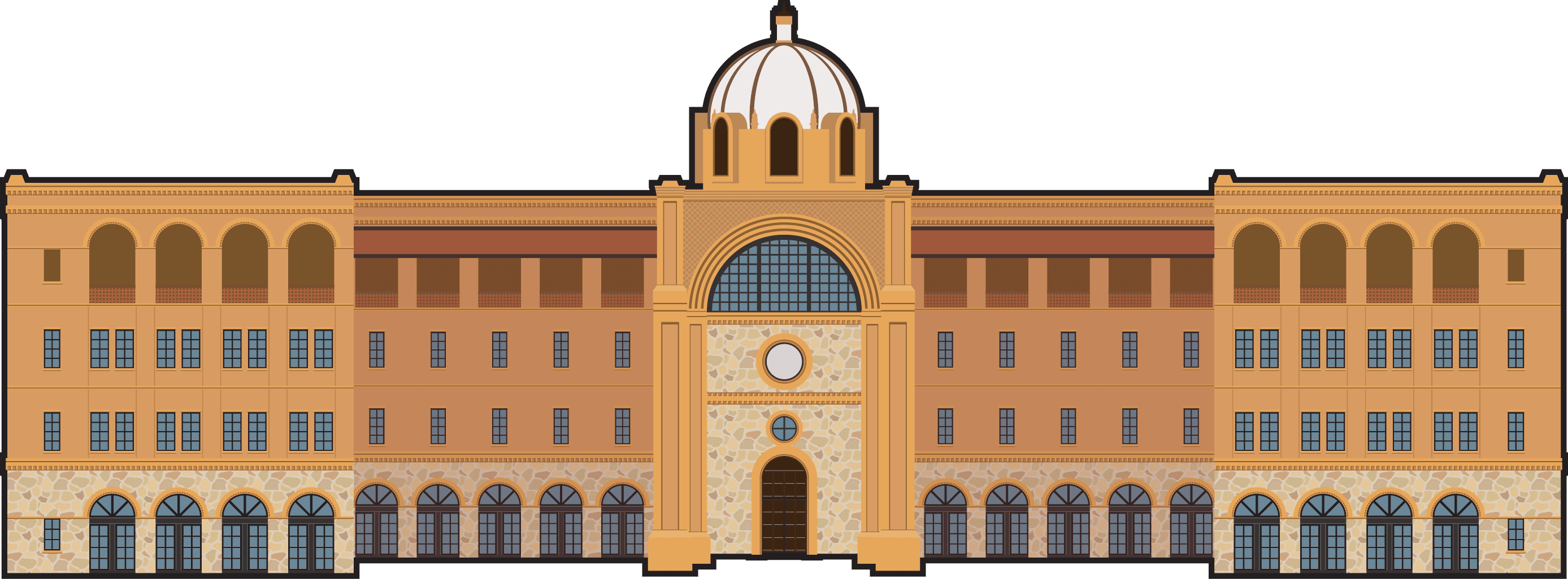
The AGH University of Science and Technology offers the Master of Science program in Geospatial Computer Science - Remote Sensing and GIS as a 1.5-year, full-time, on-campus degree within the field of Geology. This program focuses on the integration of computer science with geospatial technologies, combining remote sensing, geographic information systems (GIS), and spatial data analysis. Students develop advanced skills in processing satellite imagery, building geospatial models, and applying computational methods to geological and environmental datasets.
Graduates are prepared for careers in geoinformatics companies, environmental monitoring agencies, geological survey institutions, and technology-driven research organizations. The program emphasizes Spatial Data Science through programming-based geospatial analysis, satellite data interpretation, and applied GIS development, enabling students to solve complex earth science and environmental problems using modern computational tools.
Semester 1 – Foundations in Geospatial Computer Science
Semester 2 – Advanced Remote Sensing and GIS Studies
Semester 3 – Specialization & Applied Research
Semester 4 – Master’s Thesis & Final Project
Graduates of the Geospatial Computer Science - Remote Sensing and GIS program are well-prepared for careers in geospatial data science, remote sensing analysis, and GIS system development. They can work as GIS developers, geospatial data scientists, remote sensing specialists, and spatial data analysts. With the increasing use of geospatial data in decision-making, professionals skilled in geospatial computing are highly sought after. Graduates often work in tech companies, research institutions, government agencies, and environmental organizations, developing solutions for mapping, environmental monitoring, and urban planning.
The Geospatial Computer Science - Remote Sensing and GIS program provides students with a deep understanding of geospatial data technologies, including GIS, remote sensing, and spatial data analysis. Students gain hands-on experience in programming, data analysis, and geospatial modeling, preparing them for careers in geospatial data science and technology development. The program’s focus on interdisciplinary skills ensures that graduates are ready to address complex geospatial challenges in a variety of fields.
For further information, please contact the admissions office at:
Phone: +48 12 617 20 00
Email: admission@agh.edu.pl
Address: AGH University of Science and Technology, al. Mickiewicza 30, 30-059 Krakow, Poland
S. Master · Full-time · On Campus
AGH University of Science and Technology
Poland
Master of Science · Full-time · On Campus
AGH University of Science and Technology
Poland
S. Master · Full-time · On Campus
AGH University of Science and Technology
Poland
S. Master · Full-time · On Campus
AGH University of Science and Technology
Poland